2011 Grand Canyon, Monument Valley, Colorado Trip
May 21st-27th 2011
Since our Arkansas trip in June 2010 Don and I have been wanting to do another road trip, The Arkansas trip was a different because we stayed set up base at a motel in Harrison for 3 days. This trip would be a different destination every day.
Since Glen schedule conflicted he could not make the trip although him and Wayne did ride the first half of day one to Abilene with us.
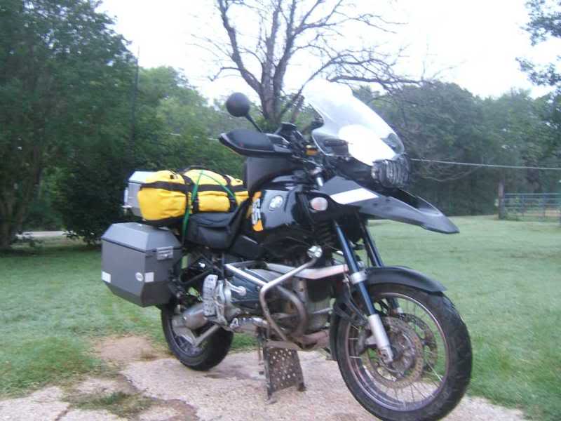
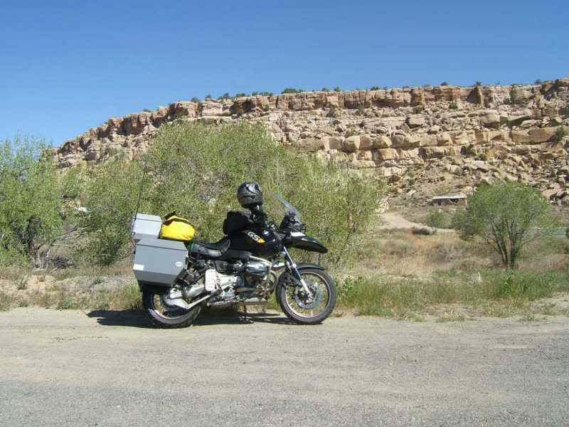
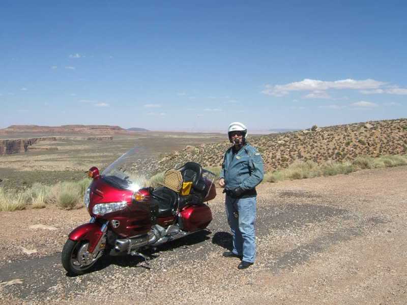
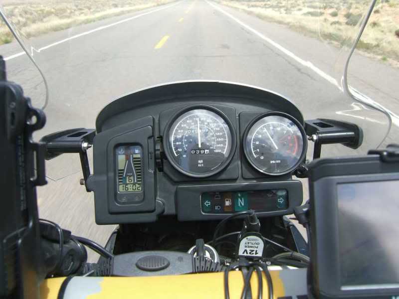
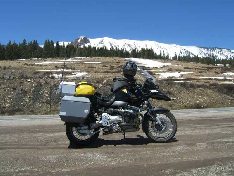
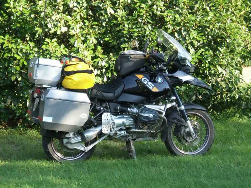
My GS, up and loaded.
As you may or may not know there is not much to see from Waco to Clovis
and my camera was buried in my tank bag so only a couple of pics at the
Abilene lunch stop of the bikes.
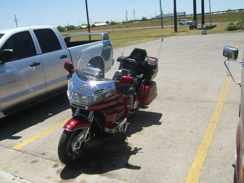
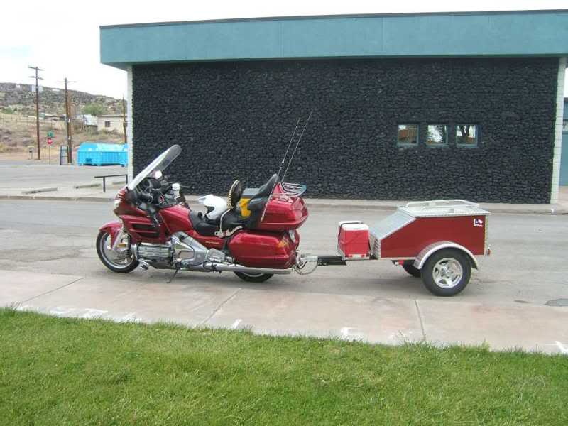
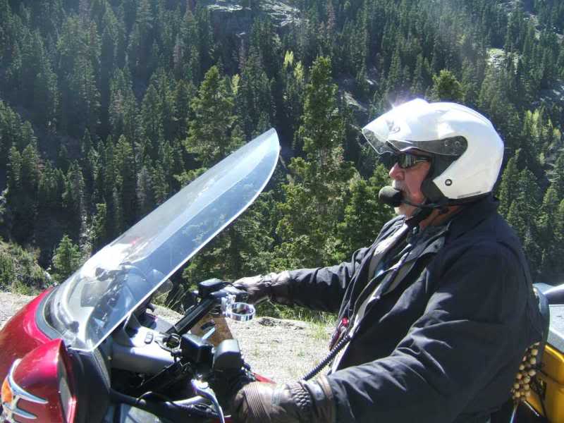
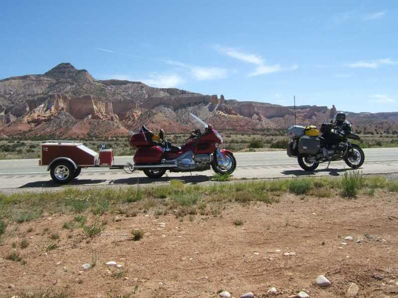
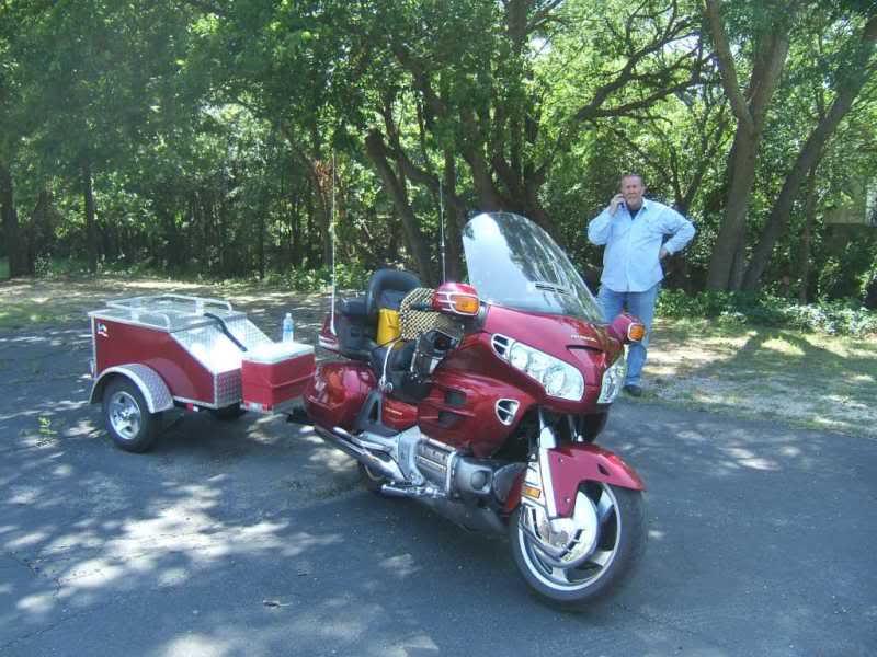
Don was on the red Goldwing pulling a trailer as he does not like to pack. Glen's spotless Goldwing and the GS.
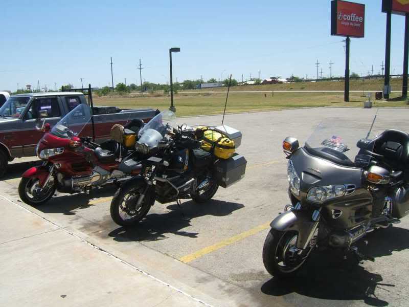
Wayne's nice and clean Goldwing 1500.
Now a recurring theme with this ride would be wind. After the lunch
stop at Abilene, Wayne and Glen headed back to Waco while Don
and I found out what the west Texas wind experience is all about.
20mph sustained with gust to the mid 30's makes for a long day.
Clovis motel the next morning,
Day 2
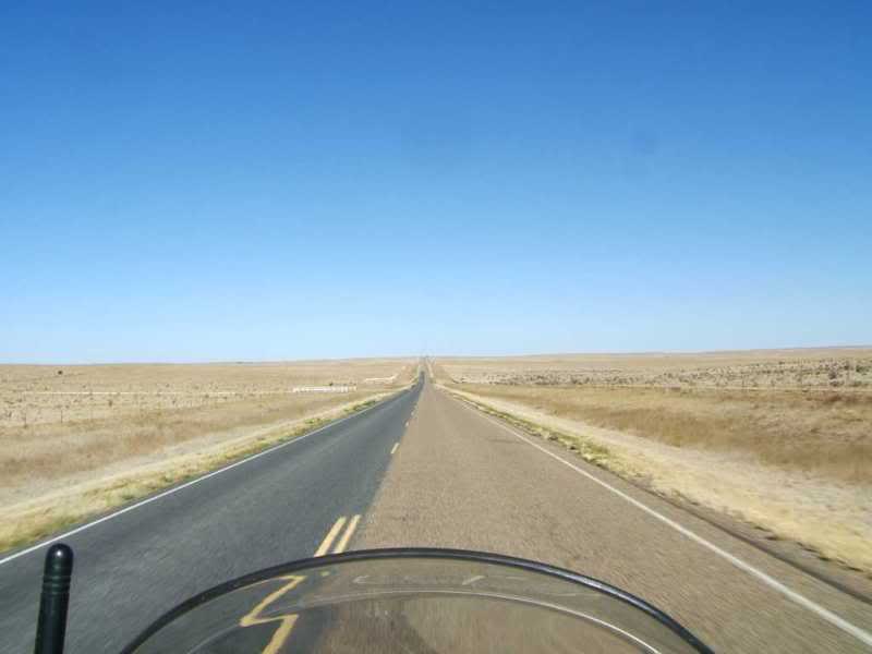
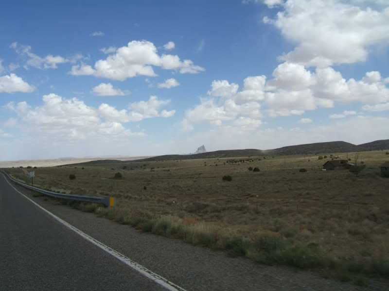
Now traveling through this section (Hwy 60) you had better be ready to deal with this...all day long...
Not wanting to deal with the interstate, this is the scenic
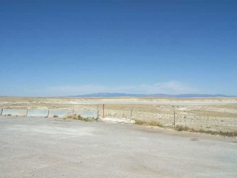
route. The salt lake just east of Willard and the official placard.
And one of the lakes.
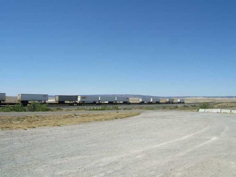
Along this route and IH40 trains are almost a constant sight.
After a while I learned when Don didn't want to stop. He never
takes off his helmet.
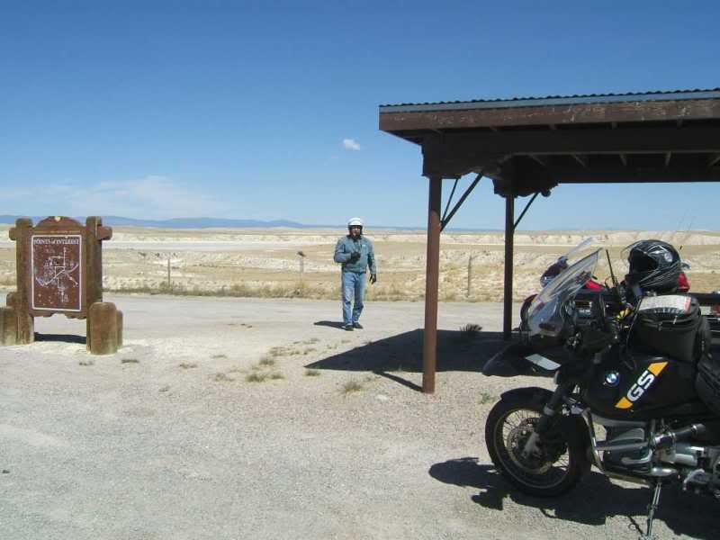
Anyone looking for a Route 66 business opportunity?
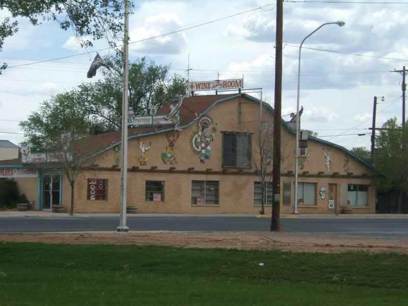
And Don's bike in front of Grants city hall.
Don at the Great Divide along IH40
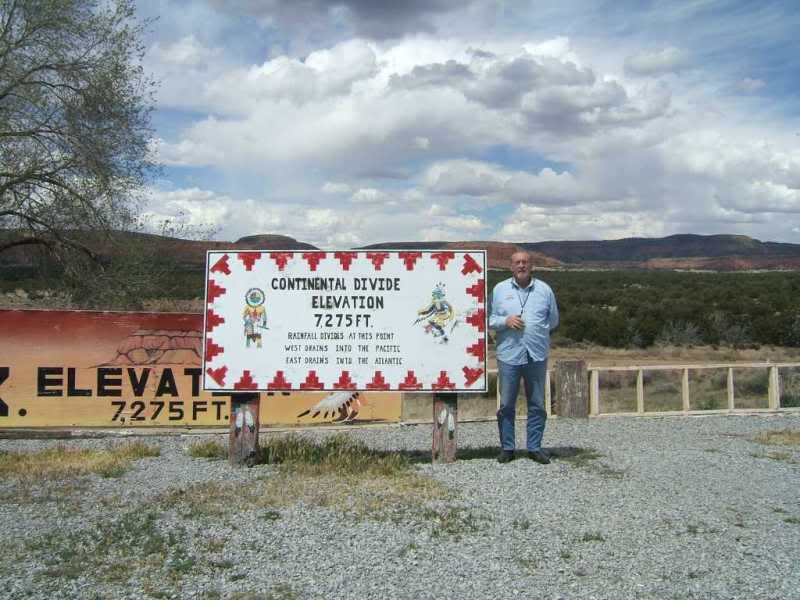
Me at the Great Divide
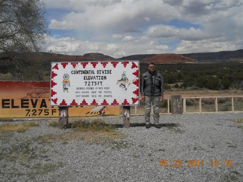
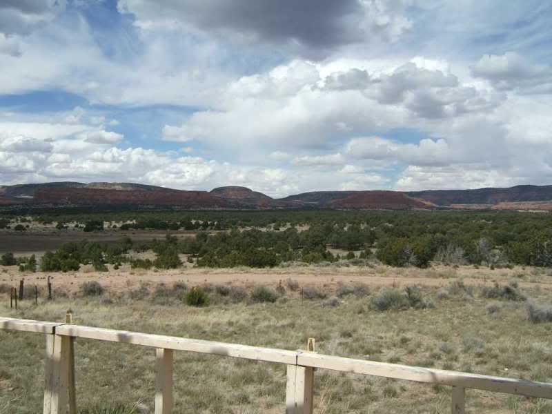
And the some of the scenery at the Great Divide.
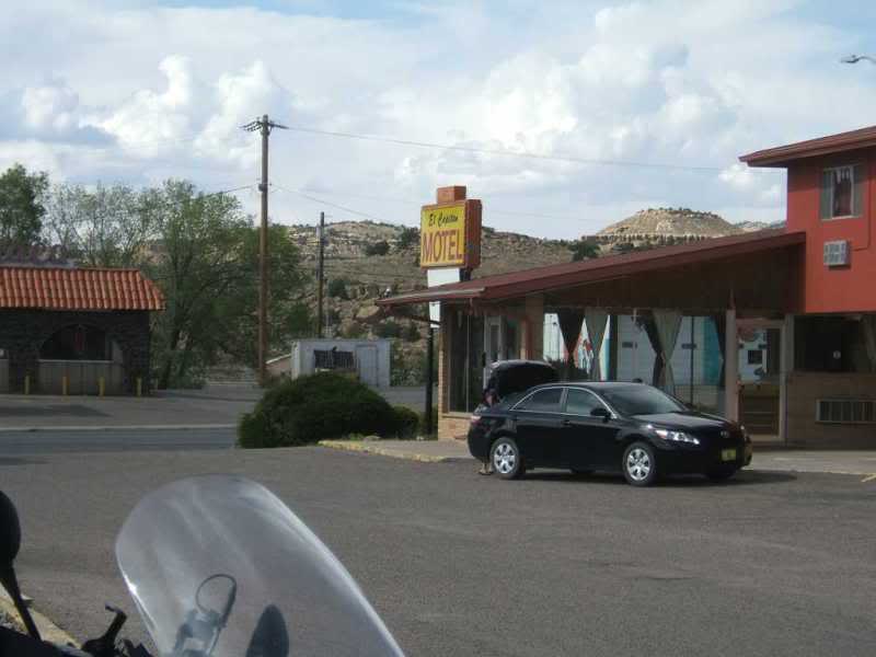
And the El Capitan motel. Be warned there are probably cheaper
and cleaner motels in the area. YMMV
That the end of day 1 and 2. Up next, off to Cameron Arizona
and the Grand Canyon.
Cameron AZ ride and the Grand Canyon.
While Still adjusting to the 1 hour time gain a me breaking the strap on my watch we find a great place for breakfast a couple blocks from the motel.
OUr plan is to head out 264 throught the Navajo Indian Reservation.
This route is very scenic but goes through many Indian settlements. We saw a lot of people walking way out in the middle of nowhere.
Also the road (264) is pretty rough. The GS had no problems but Don was pulling a trailer and almost 90 miles of expansion joints every 20 feet will shake you up so heads up if you take this route.
We stopped at the Keams Canyon post office and took a break.
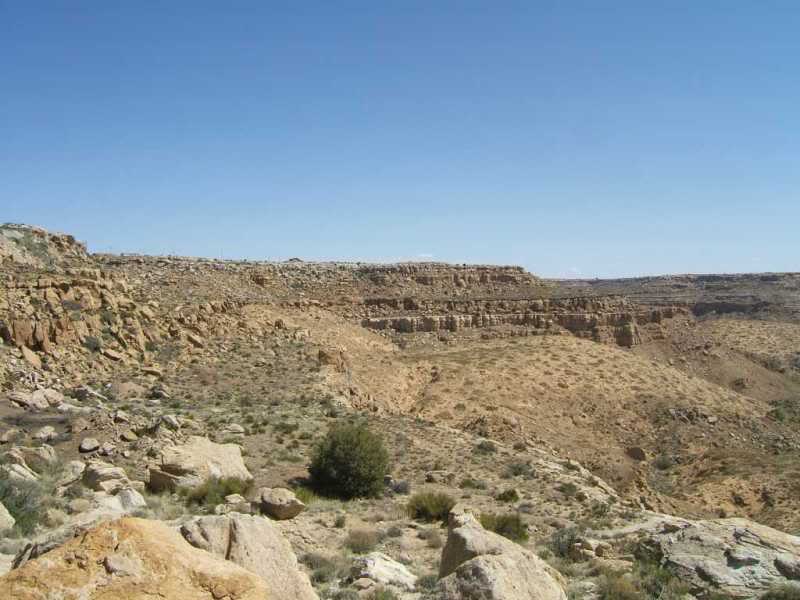
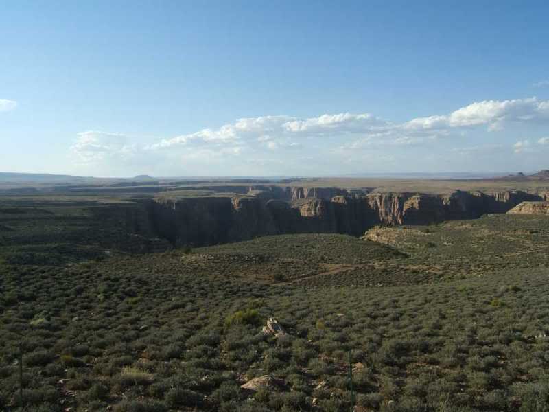
And a couple shots of the canyon at overlook.
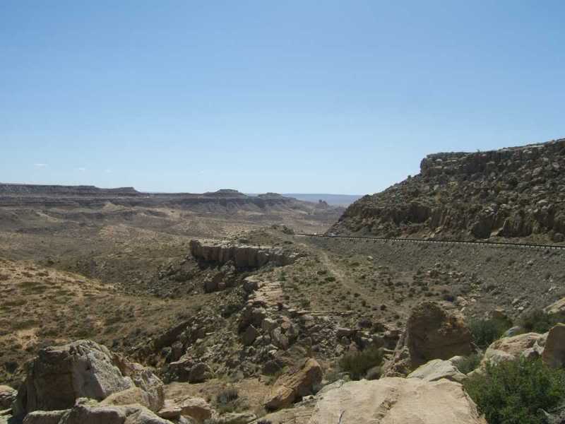
And on more looking ahead
Okay now I know the rule is pics or it did'nt happen but at the top of the canyon
as the road crest the wall on right there was a settlement and small maybe 10x10
house with toys in the backyard that was actually a large rock and right
at the edge of the canyon. I know someone that got a warning from CPS for
not having screens on all the windows. It's a completely different place out there.
After the Keams canyon area it flattens out again.
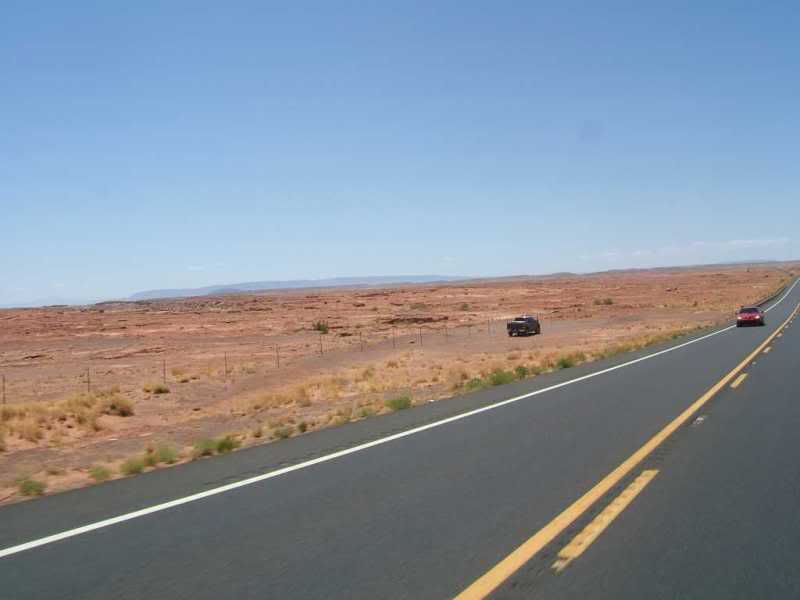
After a stop in Tuba city for lunch we take the short ride to Cameron.
Just out of Tuba City the surface of Mars appears and right about that time the wind picked up.
When we made the turn on 89 south, there were insane crosswinds blowing sand
across the road, both hands on the bars, duck behind the windshield, hope the
motorhome headed towards you can hold his line winds.
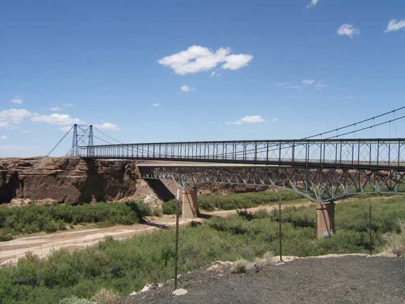
We made it to the lodge, the rail bridge and the 89 bridge from the overlook at the lodge
A quick shower and get sorted out for the Grand Canyon loop.
On the way in we saw an AZ highway patrol setup so be careful, the road are enticingly smooth on 64 towards the canyon from Cameron.
A overlook at the south end unofficial canyon pic. Don took the chance drop his trailer at the lodge.
Now on 64 we saw a sign that said $25 vehicle fee but at the gate the attendant changed us $12
I don't remember seeing an official motorcycle fee but it is a 7 day pass so if you are inclined
you could easily make a week of it.
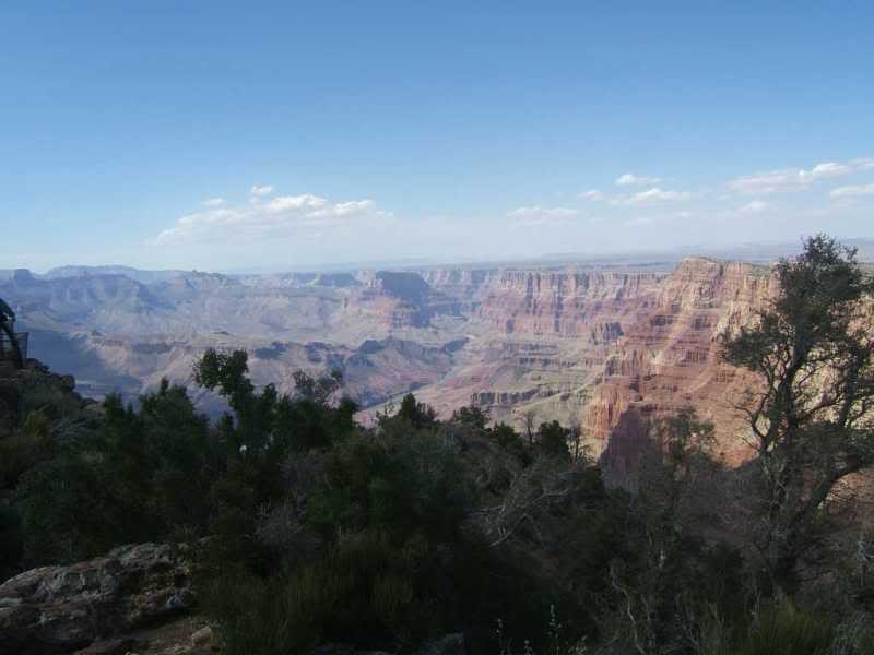
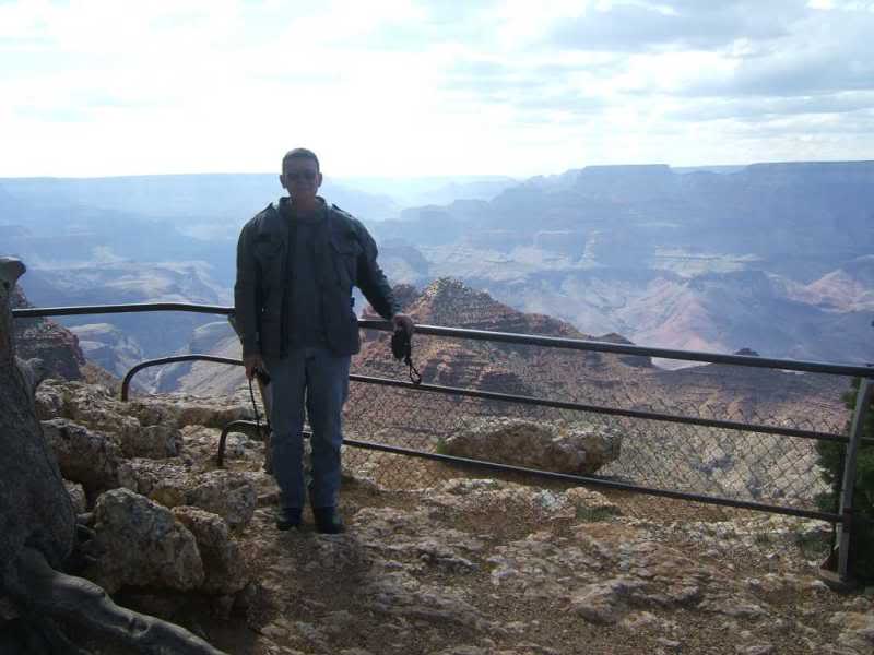
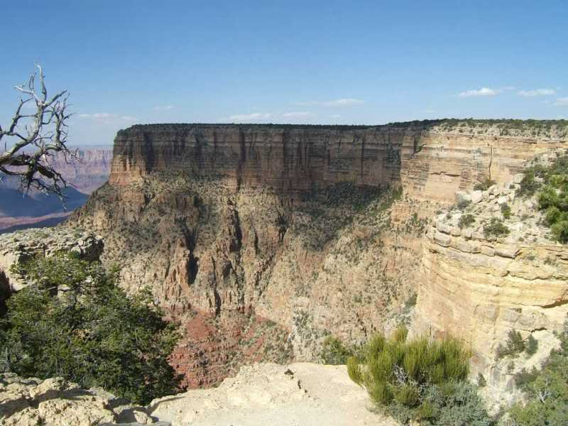
And my first official Grand Canyon pic.
The Grand Canyon was Don's idea and I congradulated him on braving the wind and getting
to see the canyon. He said he could scratch one off his bucket list.
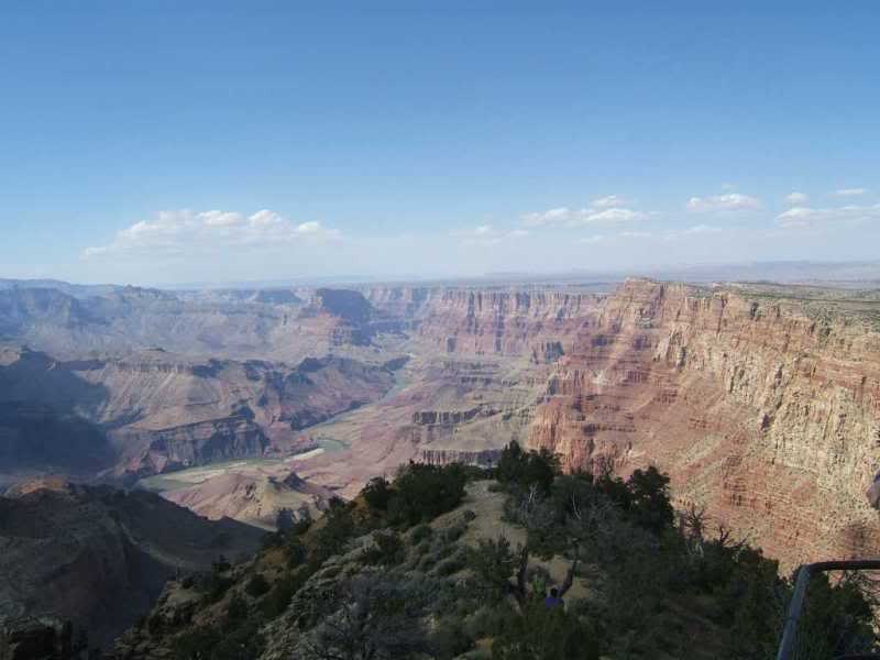
It was a bit hazy but still, the views were amazing.
Me at the canyon
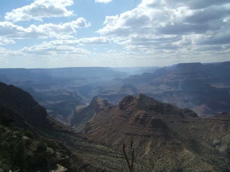
Okay a few more more...
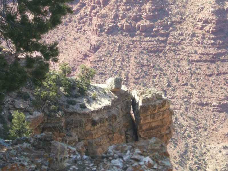
I named this one "Wayne's Rock"
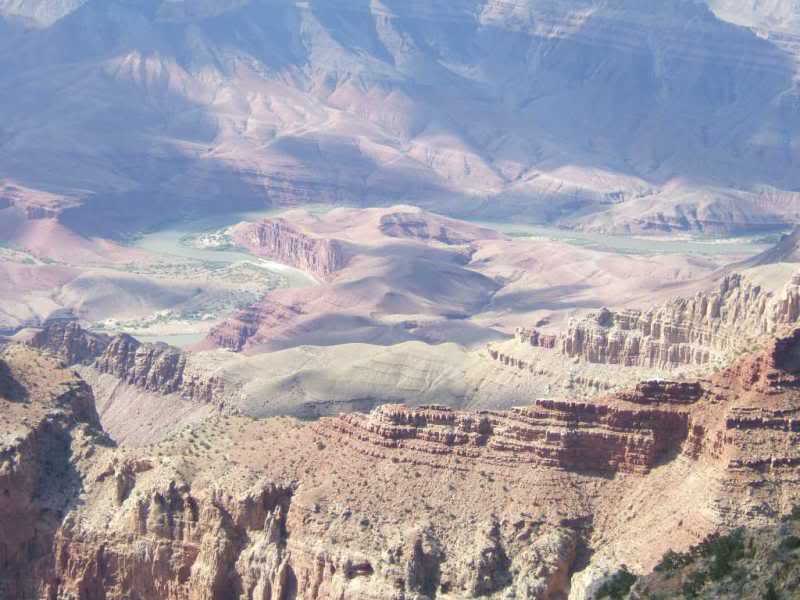
A zoomed in pic of the canyon floor...
I like this one
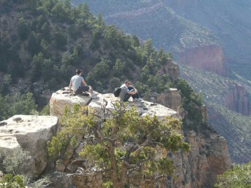
A couple kids out on "reflection point"
Headed back now another unofficial outside the park picture.
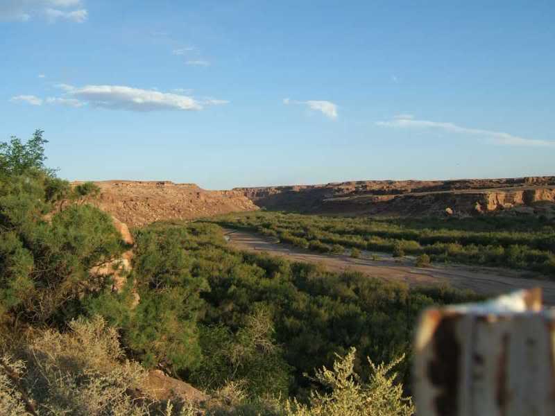
From another tibutary that runs into the canyon behind the lodge.
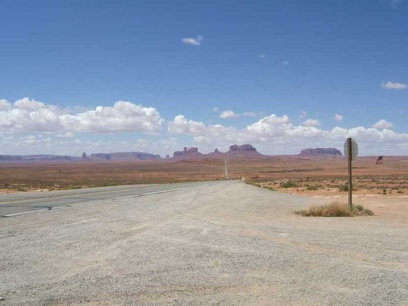
Next up Monument Valley and scratching on off my bucket list.
With the Grand Canyon part of the trip accomplished and the only destination we had to make on time due to reservations at the Cameron Lodge, the rest of the trip had a basic plan but nothing set in stone.
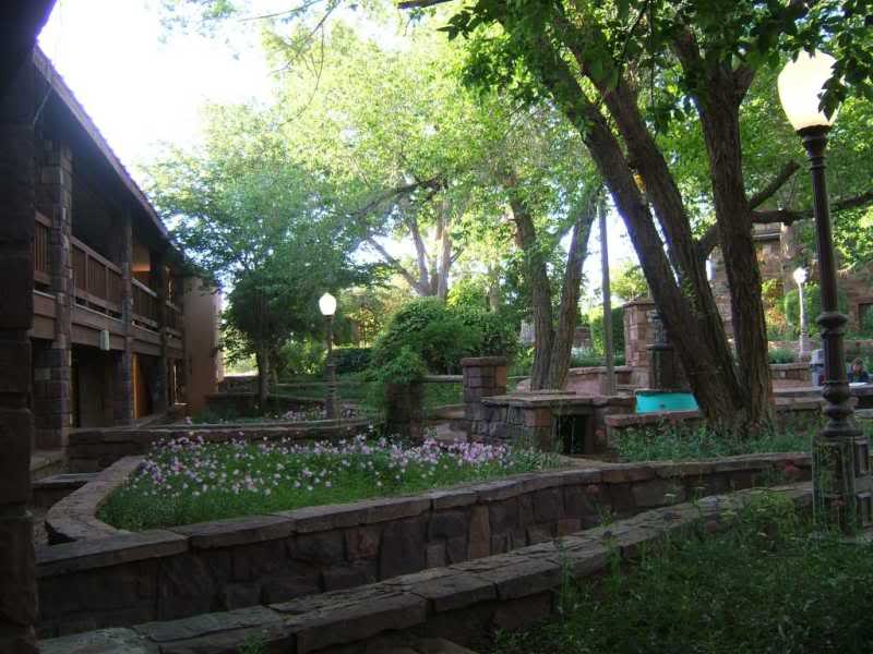
Morning at the lodge before we head out.
And the gardens at the lodge.
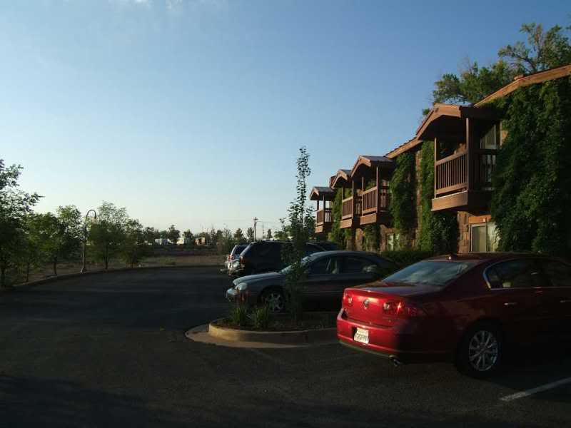
The Cameron Lodge was very busy when we arrived the day before but they let us
check in the rooms early. The gift shop is massive would take a long time to
see everything. The resturant had decent food not too overpriced and there is
a gas station there also. Next stop Kayenta and then Monument Valley.
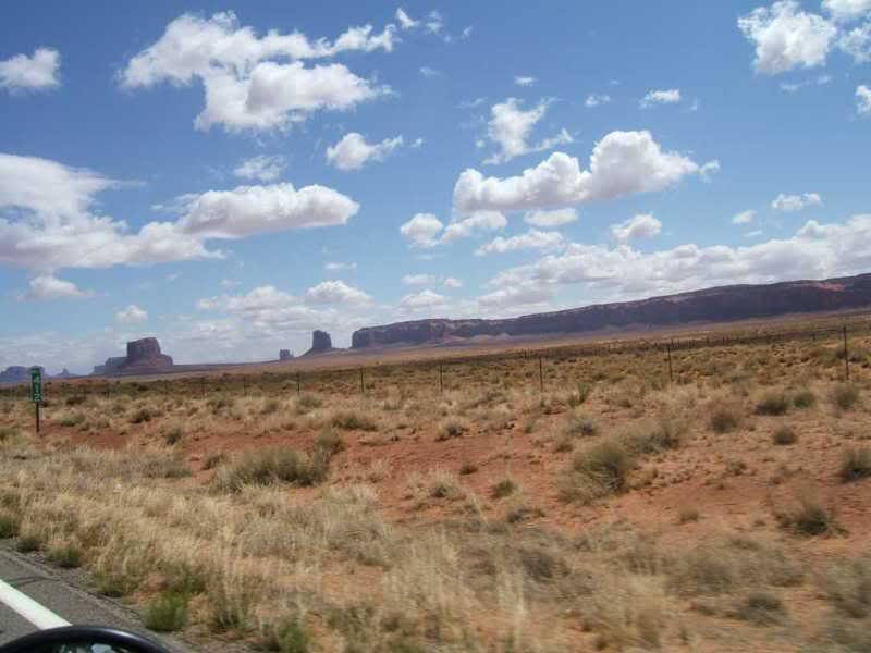
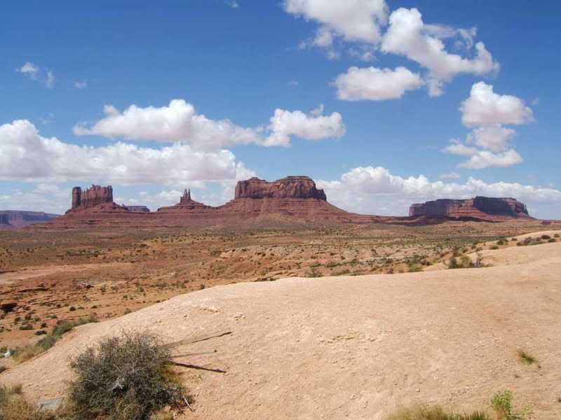
This is the first "monument looking" thing I saw so I had to take a picture.
Once we left Kayenta the road got a bit busier than I wanted but for a place this beautiful you
can't ask for it all to yourself.
Crusing through.
ALthough very windy it was cool and a great day for riding.
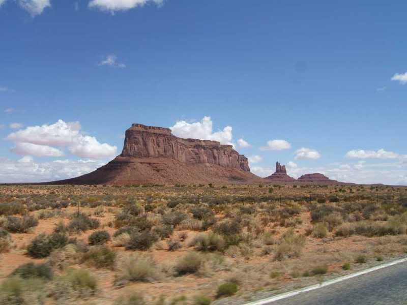
Yet another.
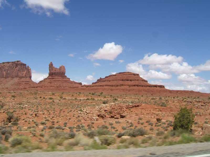
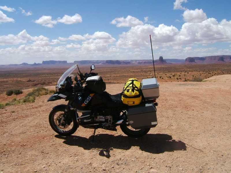
And of course the bike shot.
This one is probably my best shot of the trip.
And the shot that everyone has seen in "Forrest Gump" when he says...
"I'm pretty tired... I think I'll go home now."
I saw lot's of beautiful scenery on the trip. But Monument Valley was my reason for going.
SO large and pictures just don't do the experience justice. Sure it was busy, and windy
and a long way but it alone was worth the trip.
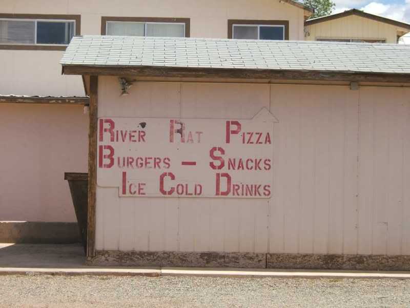
Once we left Monument Valley the plan was the get something to eat at Mexican Hat. I drove past the place by the bridge and pulled in the River Rat Pizza. THe sign said "OPEN" but the guy behind the counter was not the least bit interested in any business and was a bit paranoid acting that anyone would ask "are you serving food?".
You might have a different experince here
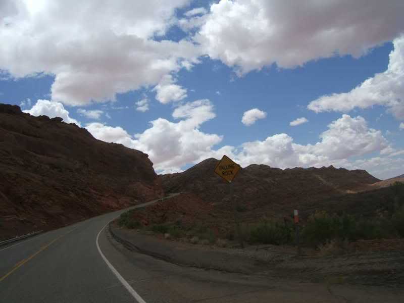
Don said "let ride on"...So we head to Bluff.
Had to get the falling rock sign.
After two stops and one more bad experience trying to find some food in Bluff
(we figured she was related to the guy at River Rat Pizza) we got gas instead.
When we gassed up (the most expensive at $4.10 for mid grade) and asked where to eat it turned out to be pretty nice.
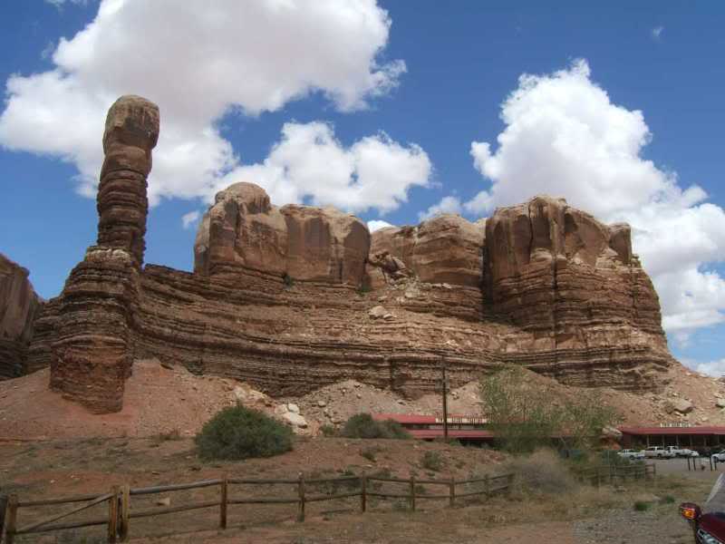
The Twin Rocks Trading Post is set up against the bluffs and it was a great place to get some food and chll out for a while. Highly recommended for scenery and food.
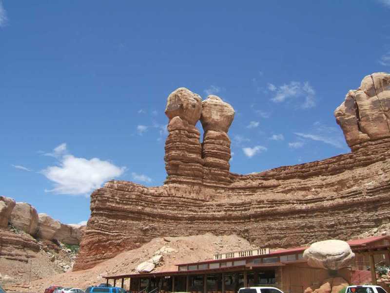
On more shot of the "Twin Rocks"
We were suppose to take 163 out of Bluff but I screwed up when we passed 191 I thought that was
the road to take. As it turns out my mistake was a blessing as there was a storm in the valley
that we could not of avoided had we been on 163.
Of course once on 191 we got stopped for a long time as there was a very long one lane section due to road repaving.
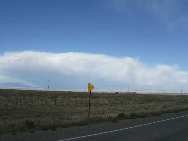
Don always scanning the horizon for rain clouds.
And finally coming to the conclusion we were gonna get wet. He was wrong although avoiding the
storm did drive us of course.
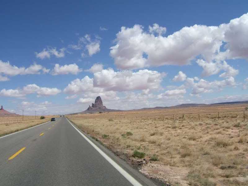
After the construction delay we headed to Teec Nos Pos.
Once there we decided to skip Cortez as out daily destination and head to Shiprock
and maybe the storm would pass by then.
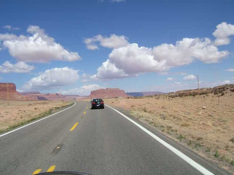
One the way to Shiprock.
This is what we were trying to dodge.
With Shiprock not on our original plan I had no motel list and we seemed to be in and out
of town before we saw any so when we saw the "airport" diagram at Farmington we knew lodging
would be an easy find.
Found a great older motel near the airport and few blocks from a good cafe that served dinner and breakfast. After the miles and the day we had, we needed a break.
Next up...a nice suprise and an extreme elevation change.
After the Grand Canyon and Monument Valley we were looking for extras to fill the day before we had to realize the vacation was almost over and head back to Texas.
Having never been in this part of the country neither of us knew what to expect. Needless to say, we were in for a nice suprise, several actually.
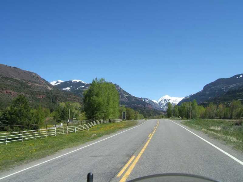
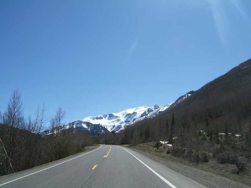
The day started off cool so we layered up thinking we would shed as we went along. Like I said neither of us had been to Colorado before.
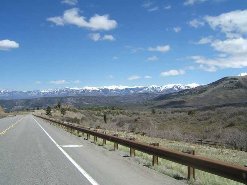
Through Aztec and into Colorado we began to climb. And the mountians we had been looking at got a bit closer.
By Durango I had to stop a get some coffee and warm up a bit.
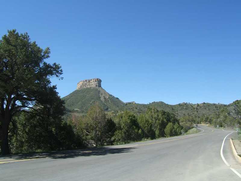
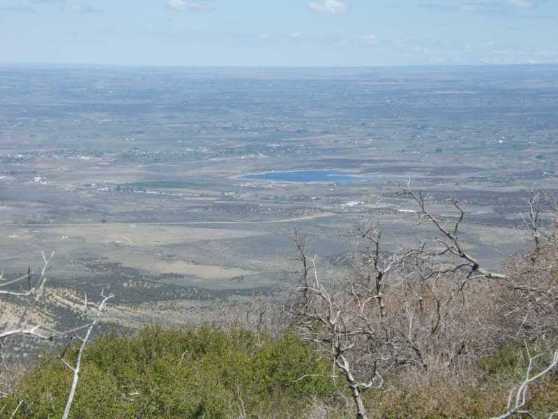
On the way to Cortez I saw a saw a sign. Remembering we had arrived at the visitors center at the Grand Canyon too late for Don to get his Nation Park lifetime pass. We pulled into Mesa Verde National Park. Now if someone would have mentioned this a a destination I would have said... never heard of it. I recommend this park, for the drive, the views, and the location close to a city so it's not quite the tourist trap of the GC.
Inside the park waiting for Don to get his pass.
Once we started to road up there were several placed to get instant wallpaper for your desktop.
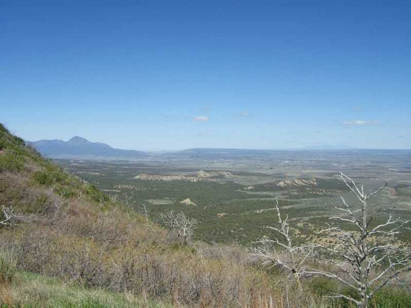
Many miles to the horizon.
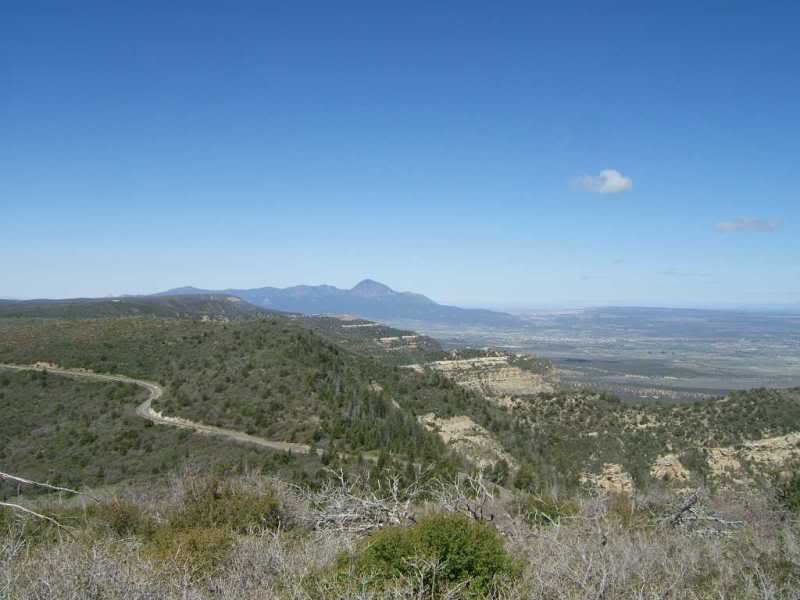
Not known yet, this was the direction we were headed...
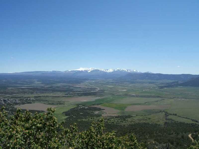
Don liked the lake in the valley so a zoomed in pic.
We spent more time there than we have planned and like I said there is a ton of stuff to do
so you could easily spend a day there and I will on my next trip.
Don had been wanting a Wendy's chicken sandwich since we left Waco and we happened up on in Cortez. While we were there one of the locals said "good thing you were not here yesterday"...the strom that we took the time to drive around went through with very heavy rain and hail...yikes... we dodged a bullet there.
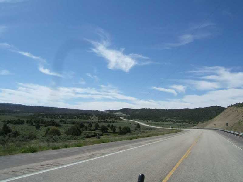
So back on the road out of town (SR-145) after meandering though the courtyside for a while we started climbing.
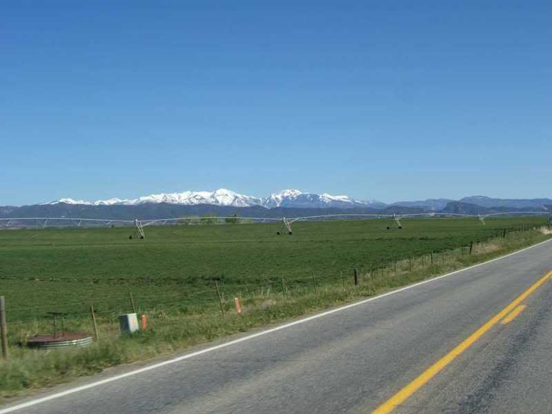
Colorado postcard type stuff.
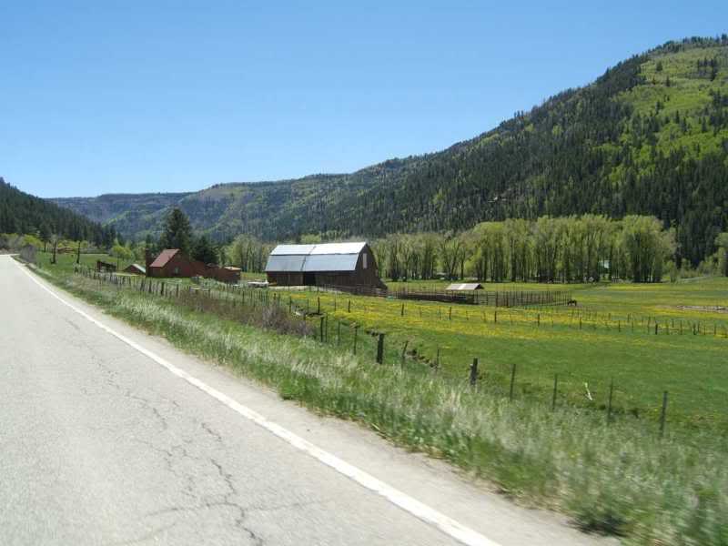
And we kept climbing.
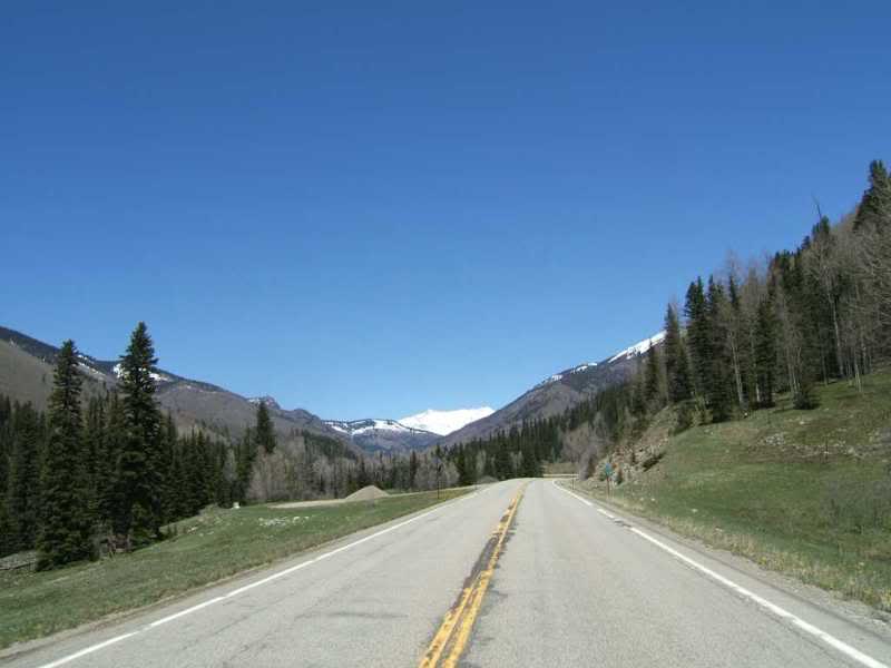
And the snow we had been lookiing at for a few days now is below us.
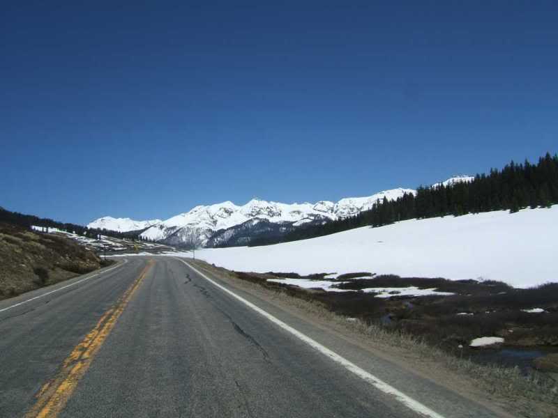
This is Lizard Head Pass 10,222 feet acording to Wikipedia.
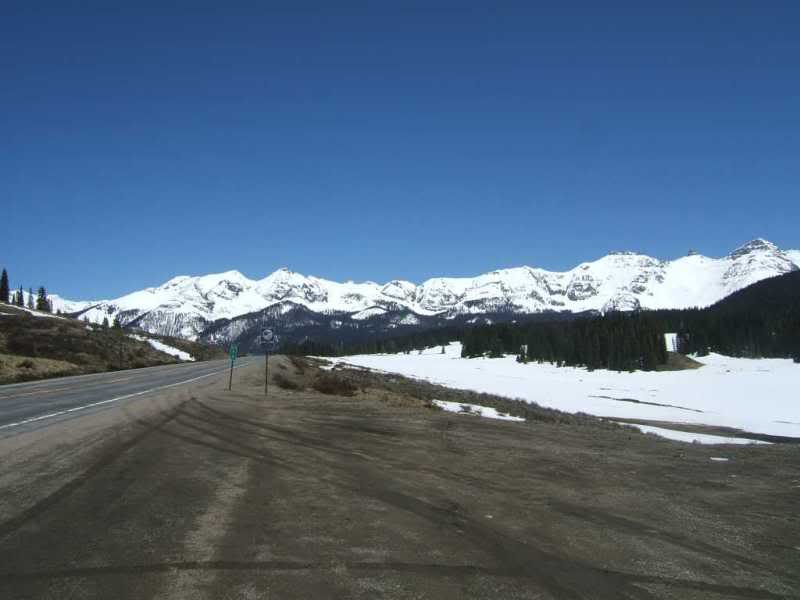
And the bike pic.
At the pass I walked around a bit the stretch my legs and got a bit winded. Don stayed very
close to his bike. Now I think the combination of the snow and the lack of traffic made Lizard Head
my favorite pass. Had it been later in the year without snow or we had been driving in traffic the
whole way up the experience would have been completly different.
I'm pretty sure this is dropping down the other side of the Dallas Divide.
The road was better here and there were many bicycles running the pass.
Finally made if to 550 with no idea of what to expect.
And of course road construction delays.
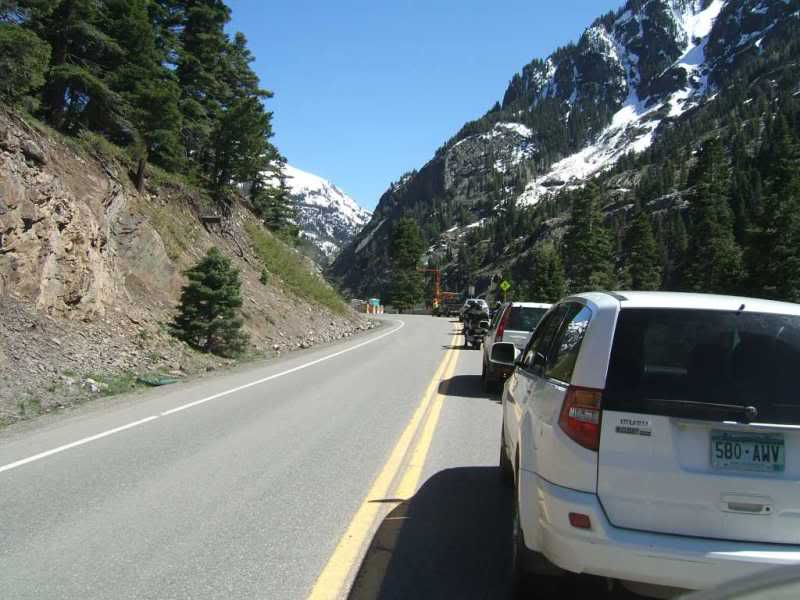
Don waiting at the delay. At least the weather was beautiful and the wind had laid for a
very pleasant riding day.
Now at the road construction there should be a sign about the road ahead. As you know this is the
curvey and scenic part of 550 of which there is no way to take pics and ride at the same time.
After a bit I had to tell myself "the road" don't look elsewere and the double yellow in the middle and the white line on the right were my target.
We saw a few bikers with helmet cams coming the other direction and that's the way to go if you are trying to capture 550 in pics and video.
I think this is my last 550 pic when the road finally straightens out.
Wander back to Durango, find a motel, trolly into town for dinner.
Vacation over, two day ride home starts tomorrow.
After a perfect day of riding Don and I would pay the price battling high wind all the way back to Waco.
We took 160 out of Durango to Pagosa Springs and really had no idea how beautiful this drive would be. It was cool when we left Durango so again we layered up and ended up the coldest riding we would do the entire trip.
We hit Hwy 84 in Durango and were suprised at how scenic this end of Hwy 84 is.
I have been on HWy 84 as far east As Laurel Mississippi and the rolling hills and pines are no match for this section of 84. Through New Mexico it gets better (tops 8000 feet in at least once place) and is very scenic riding all the way to Espanola.
This is Hwy 84 winding though southern Colorado or Northern New Mexico.
This Is in the Rio Arriba area of Carson National Forest.
After Santa Fe I took 285 by mistake but we were headed in the right direction so no need to backtrack.
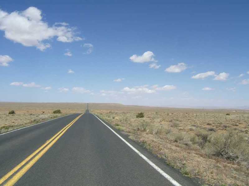
Flat land all the way to Clovis.
Motel, dinner, up early and into Texas hoping to get some riding in before the winds. No such luck.
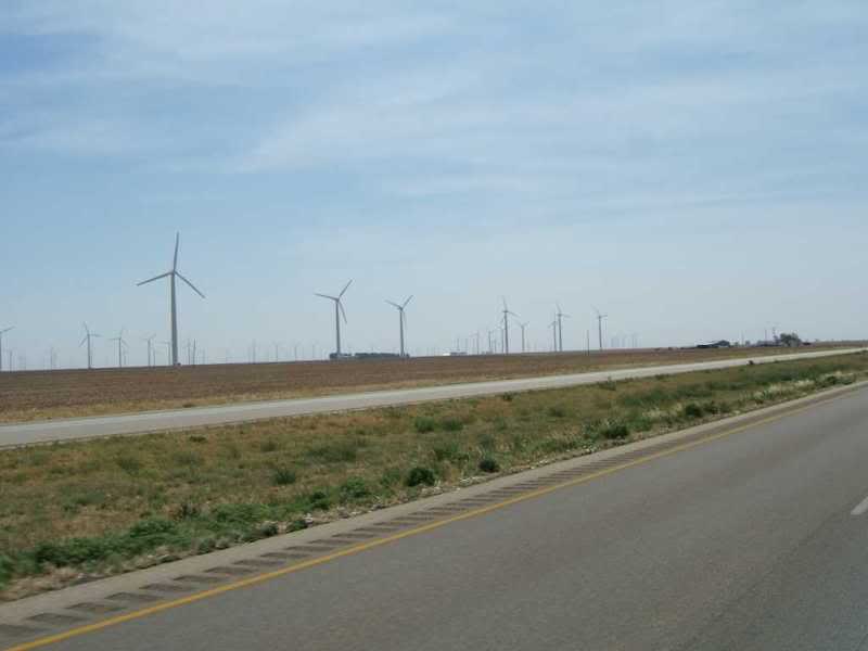
Someone told be there would not be as much wind if they would turn these fans off.
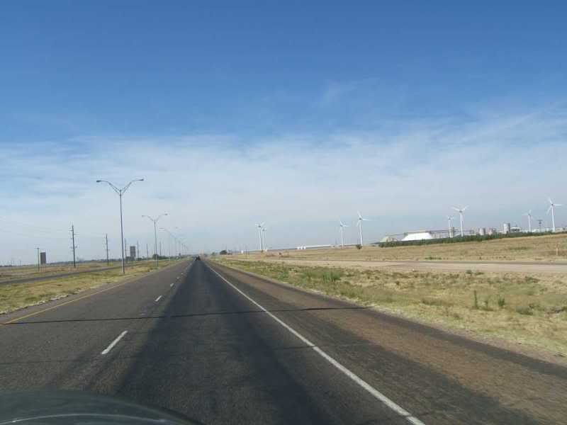
More fans.
It was 101 at 12:30 when we stopped for lunch in Abilene, so more frequent stops would be needed
for the balance of the trip.
Found some shade at a city park in Hamilton. Don explaining to the wife when we might arrive.
And the GS home safe and sound with the rider beat down by the wind but overall a very enjoyable trip.
The stats...
2615 miles via gps (it dropped out a couple times that I did'nt notice)
2663 offical trip mileage via BMW odometer
My GS averaged 45.9 mpg for the reciepts that I marked the mileage on.
Waco
Clovis
Great Divide
Gallup
Cameron AZ
Grand Canyon
Monuent Valley
Shiprock
Farmington
Durango
Mesa Verde
Cortez
Hwy 145
Lizard Head Pass
Dallas Divide
Hwy 550
Red Mountain Pass
Molas Pass
Coal Bank Pass
Durango (again)
Hwy 160
Yellow Jacket Pass
Pagosa Springs
Hwy 84
Santa Fe
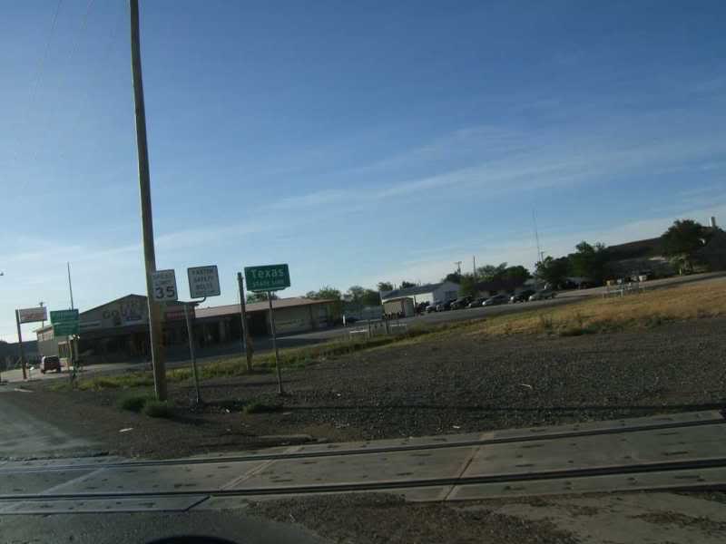
Clovis
Waco
Not bad for my first 7 day trip, no drops, no close calls, and I can count the
inconsiderant cagers one one hand.
I can't wait for the next one.
Blue Ridge Parkway?... Key West?...Who knows...